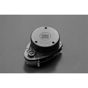
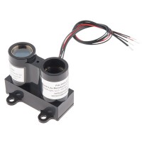
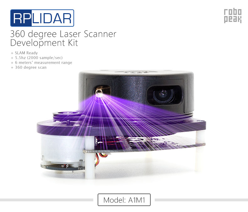
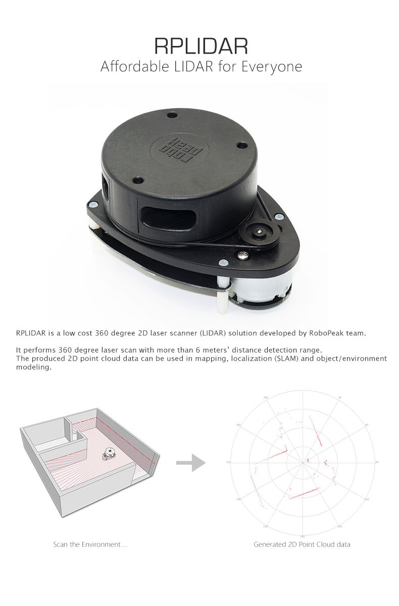
RPLIDAR is a low cost 360 degree 2D laser scanner (LIDAR) solution developed by RoboPeak team.
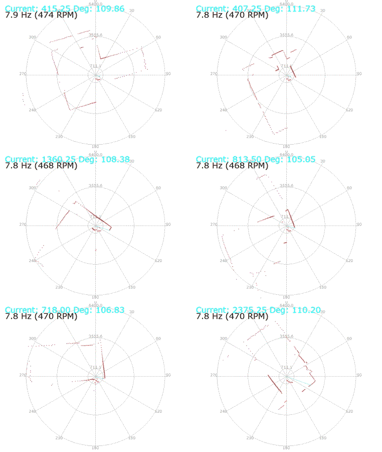
It performs 360 degree laser scan with more than 6 meters distance detection range. The produced 2D point cloud data can be used in mapping, localization (SLAM) and object/environment modeling.

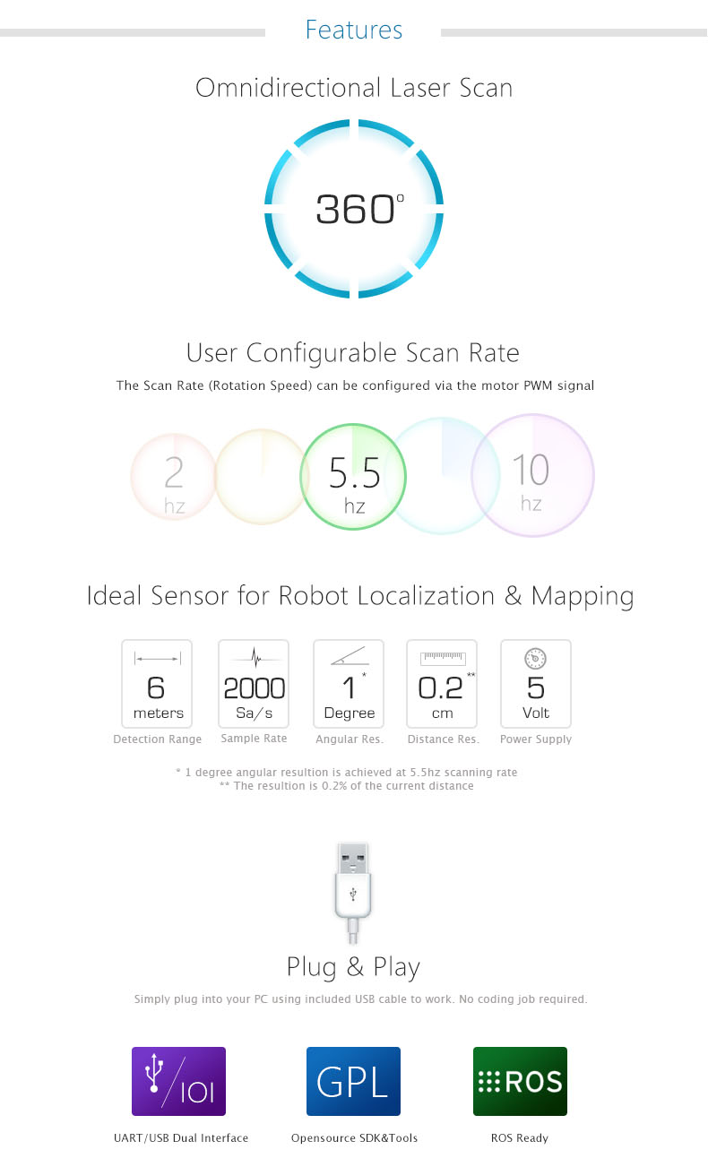
Features
- Omnidirectional Laser Scan
- User Configurable Scan Rate
- Ideal Sensor for Robot Localization & Mapping
- Plug & Play
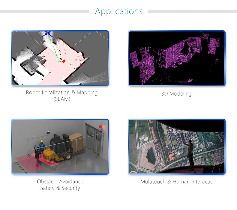
Applications
- Robot Localization & Mapping
- 3D Modeling
- Obstacle Avoidance Safety & Security
- Multitouch & Human Interaction
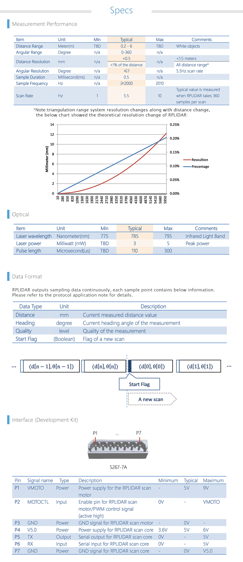
Specifications
Documents
- Datasheet
- Development Kit User Manual
- SDK and Documents
- RPLIDAR Review by Gavin (@MechatronicsGuy)
- ICP-SLAM based on RoboPeak Low cost RP-Lidar and mrpt (1min23sec)
- RoboPeak Low Cost 360degree 5hz LIDAR (2min46sec)
- RPLIDAR now support Arduino & ROS
Shipping List
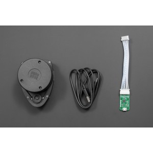
- RPLIDAR - 360 Degree Laser Scanner Development Kit x1


